
84,000 Lives Threatened By Sea Level Rise In New England
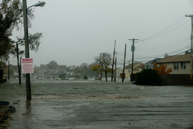

As New Jersey residents loft their rebuilt homes onto five foot pilings along the shore and NYC Mayor Bill de Blasio promises to get work started on 500 storm-demolished homes before Hurricane Sandy’s two year anniversary, a new sea level rise analysis has found that $32 billion in property and 84,000 people are at risk of extreme coastal flooding in five New England states.
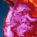
As part of its Surging Seas initiative, Climate Central is using data from federal agencies like the National Oceanic and Atmospheric Administration, the Environmental Protection Agency and the U.S. Geological Survey, among many others, to map sea level rise by zip code in an interactive tool that also shows the number of people and the value of the property at risk.
The mapping tool was launched in 2012 for New York, New Jersey and Florida. Now, data on Massachusetts, Rhode Island, New Hampshire, Maine and Connecticut is also available. Of the states just added to the map, Connecticut has the highest value of property at risk from coastal flooding — $14.9 billion. For its part, Massachusetts has about 47,888 people who would be endangered by a four-foot flood. The odds of such a flood occurring in Boston in the next 15 years is 67 percent. Most at risk are the 17,662 people who are highly vulnerable to flooding because of their social and economic situations.
While these may be some of the most alarming statistics, none of these New England states can claim that sea level rise is a distant problem in Bangladesh or the Maldives. New Hampshire has more than $1 billion of property with a 40 percent risk of getting uncomfortably soggy in the next 25 years and Maine has 58,379 acres of land at a similar risk. Even in tiny Rhode Island, there is $4.3 billion worth of property built at an elevation with a one-in-three chance of flooding by 2040.
The tool also allows users to look at the critical buildings and infrastructure that would be affected in different flooding scenarios. The number of hospitals, government buildings, schools, libraries roads and airports that are likely to be impacted in the coming years can be seen at a very local or statewide level with just a few clicks.
“In the lifetime of a new mortgage, coastal residents will see more flooding due to sea-level rise,” said Dr. Benjamin Strauss, director of the Program on Sea Level Rise at Climate Central in a press release.
All U.S. coastal states, including Hawaii and Alaska, will be added to the map by the end of the year.
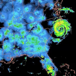
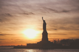
Related research released this week by scientists at Portland State University found that Manhattan’s seawall is now 20 times more likely to be breached than 170 years ago. Water levels around New York City have already gone up by 1.5 feet since the mid-1800s, The continued rise in sea level and storm tide now means that there is now a one in every four to five years chance of flooding in Manhattan. In the 1800s that chance was once in every 100 to 400 years.
The 1.5 foot of existing sea level rise contributed to the devastating 14-foot storm tide that smashed into Battery Park, at the tip of Manhattan, during Hurricane Sandy.
Source: http://thinkprogress.org/climate/2014/04/24/3430234/sea-level-rise-new-england/


Ahaa, its fastidious discussion regarding this article
at this place at this weblog, I have read all that, so at this time me also
commenting here.